From purchase to analysis satellite imagery made easy with EarthPaper
Satellite imagery data is powering real-world applications in environment, urban management, and finance
EP MAP
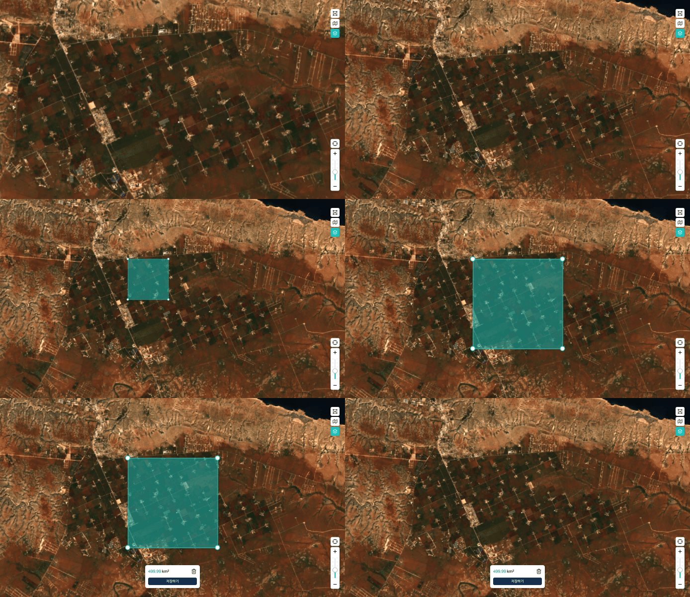
Explore high-quality satellite imagery from around the world
With EP Map, you can easily purchase and manage imagery for any region—anytime, anywhere
Purchase Satellite Imagery
Easily search by location and date to find the satellite imagery you need.
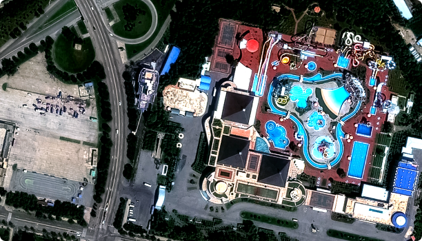
Need customized satellite imagery?
Purchase Inquiry
EP POST
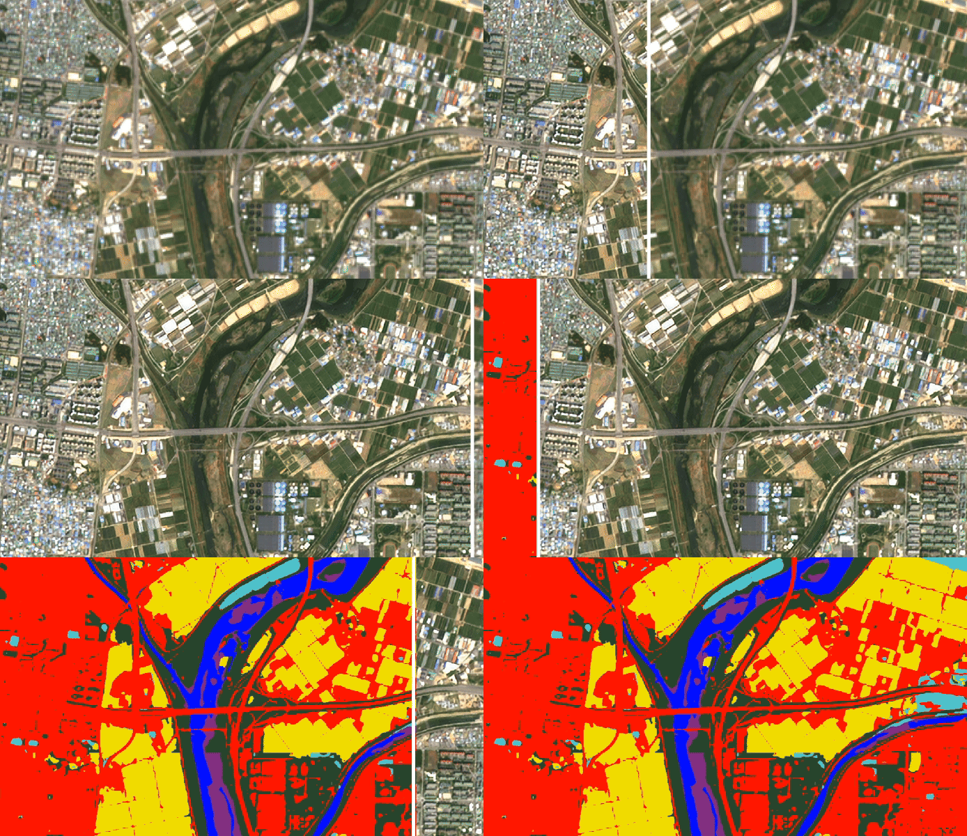
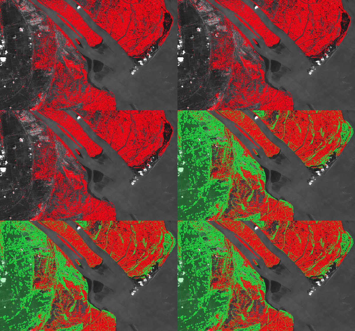
Uncover hidden value through satellite-powered analysis
EP Post delivers in-depth stories that reveal global issues through data and offer new perspectives on everyday life
Insightful stories powered by satellite data
Analyze global issues using satellite imagery and big data, and discover new ways of understanding the world.
Need help with data analysis?
Request Analysis


